I am experiencing some problems with the reconstitution models. For example, when I add my own shapefiles, polylines and/or polygons have become points when I set parameters of reconstruction models.
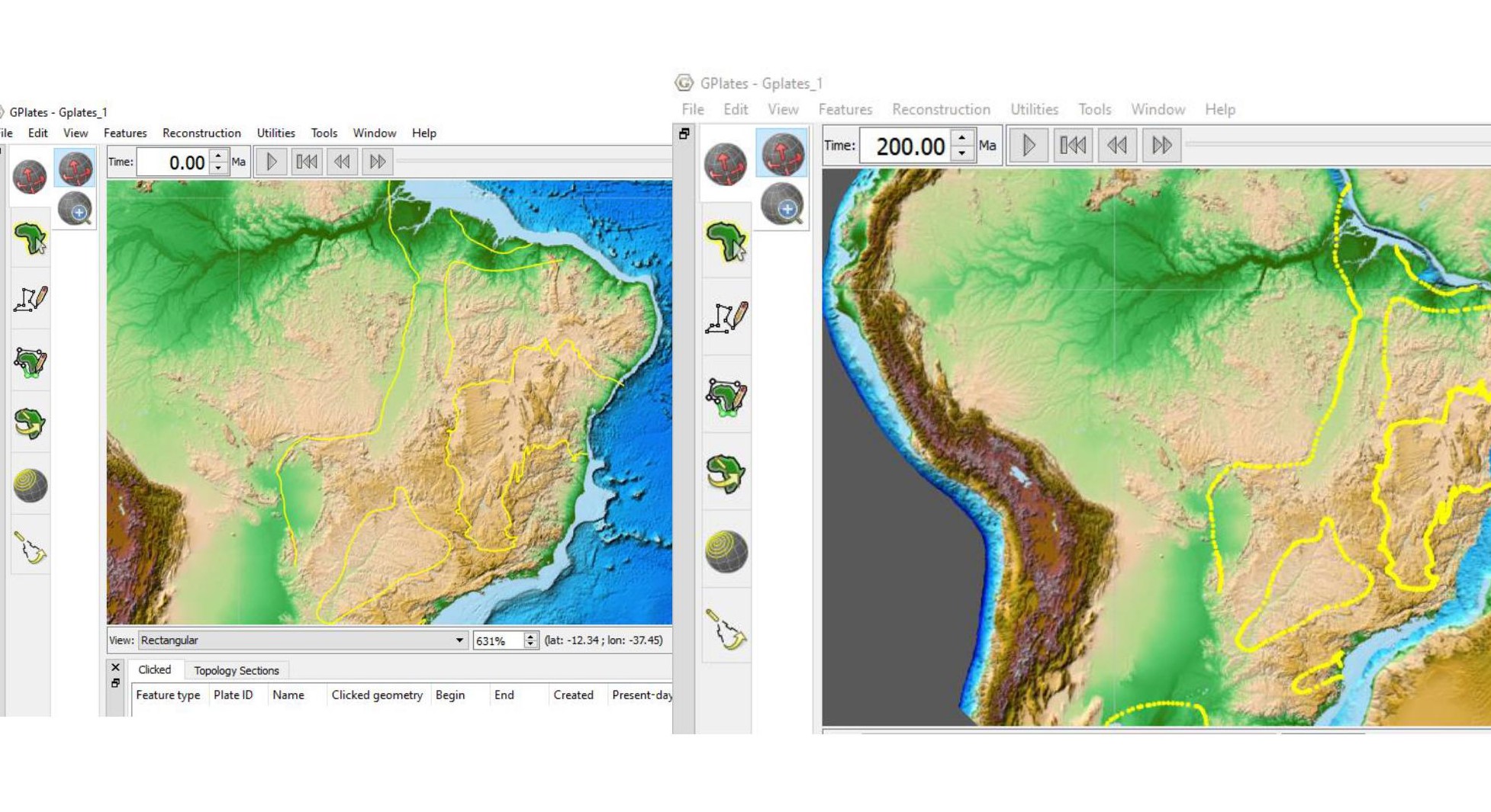
Yes. I did this step. But when I tryed to visualize the paleogeographic position of features (polygons) they became points.
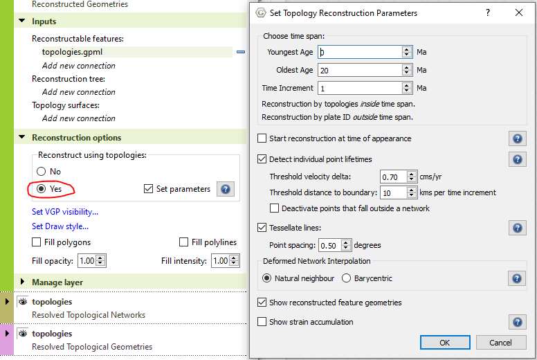
Yes this currently happens when you reconstruct using topologies - you’ll see a short explanation when you click on the help button next to Tessellate lines (see above image). A future release will join the dots so to speak, but essentially by tessellating lines/polygons into points we avoid the complexity and cost of clipping these against subducting crust (forward in time) and newly created crust at mid-ocean ridges (going backward in time).
You might prefer to use the standard method of reconstructing features, which is to assign them plate IDs. See exercise 3 in tutorial 1.5 (Creating Features) in the GPlates tutorials.
1 Like