Hi Dani,
You might be using Delete layer in the Layers dialog. You can instead use the unload button in the Manage Feature Collections dialog which will remove the Shapefile and also remove it from the Layers. And then save the project.

If there are only warnings (ie, no errors) then you won’t see warnings. For example, if you load the DataBundleForNovices project that comes with GPlates 2.3 then you’ll get…

…and only if you then click on the yellow triangle (in bottom-right corner) will you see the warnings…
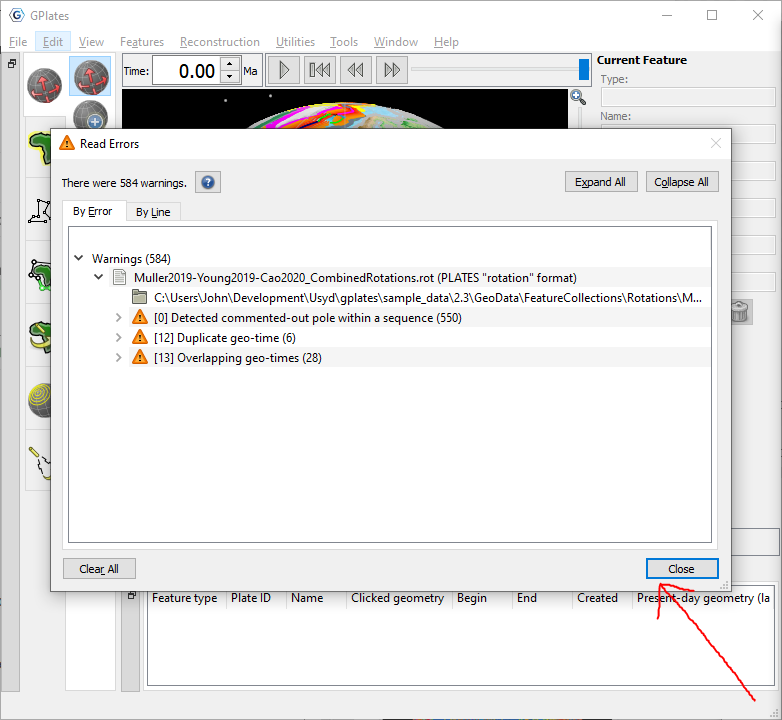
In your case there are also errors and so the Read Errors dialog will always show upon loading…

Yes I think they are features with no geometry. In this forum topic another user had that particular error. Ultimately those features with no geometry would need to be removed from the Shapefile to avoid the pop-up errors. Alternatively you could save the Shapefile as a GPML(Z) file using Save As in the Manage Feature Collections dialog, and then save the project. Then upon reloading the project it should no longer pop-up errors.
This is because the GPGIM_TYPE or TYPE Shapefile attribute is used by GPlates (by default) to determine the type of the features being loaded. The Shapefile in question contains the TYPE attribute, but it is used for something else. When you first load the Shapefile you can instead map a different attribute to the GPlates feature type (ie, use something other than TYPE). You may first have to first delete the World_Exclusive_Economic_Zones_Boundaries.shp.gplates.xml mapping file (since it’s already been mapped). When the attribute mapping dialog then pops up (upon loading) you can set it to something like <none>. However that will just cause different warnings (because GPlates still needs to know the feature type one way or another).