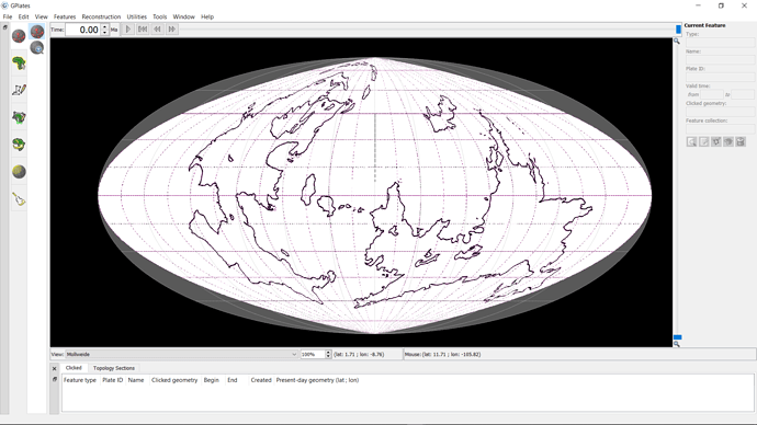
So I’ve been trying to use the linked image above as a raster in order to draw a better model of it in GPlates; however, whenever I try and use it with its correct projection (Mollweide), it comes out like this:
Has this happened to anyone else? Is there anything I can do to solve this?
Hi weefeewill,
It’s because the image you linked is already in the Mollweide projection. I got the same visual result as you when I created a rectangular cutout of that (Mollweide) image and imported it into GPlates. You essentially get a Mollweide projection of a Mollweide projection.
To use that image I think you’d need to store the projection inside the raster (before importing into GPlates) - but in your case it might be better to find an image that’s already in a rectangular latitude/longitude projection (ie, doesn’t need a builtin projection).
There’s some information in these links concerning the use of gdal_translate and gdalwarp to specify a projection for a raw PNG and converting between projections. But it’s not easy to figure out what to do in these situations:
