Making reconstruction files from modern blocks and instantaneous Euler poles

Hi all,

I am trying to use GPlates to better visualize the rotations I am deriving from block modeling of GPS data and Quaternary fault slip rates.

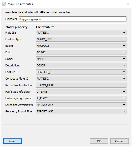
My block modeling program is writing out Polygon geojson files of the modern block geometry, as well as a csv with Euler poles. I can load these into GPlates and see the blocks and get one rotation increment corresponding to the rotation angles in the .rot file that I am writing.

I would basically like to visualize rotations from +5 to -5 Ma (or so), and be able to slide the time slider in GPlates and get nice smooth rotations–ideally in 0.5 Ma or smaller increments. (Also please note that I’m not interested in the veracity of the reconstructions at times different than the present–this is just to help me understand the kinematics of the fault slip rates that my rotations are producing in more detail.)

However I am not sure how to write rotation files (and perhaps additional block geometry files?) for this. I am comfortable with the mathematics of finite rotations and if I need to I can write new geojson files for any time in the past or the future, but if possible I would like to avoid it (I am not sure if GPlates can extrapolate to different positions). Is there a format for the .rot file, or specific ‘start time’ and ‘end time’ settings in the plate geojson file that I can use for this?

Thanks!
Richard

Hi Richard,

Tutorial 2.2 (Changing Rotations, Equivalent Finite Rotations, and Cross-Overs) covers the basic rotation file format and how to create rotations.

When you load your GeoJSON file you should be presented with an attribute mapping dialog like…

…which shows the default GPlates mapping (you can change the mapping attribute names). If your GeoJSON file contains the FROMAGE and TOAGE attributes from the default mapping (or whatever attributes your choose if you want a different mapping) then GPlates will map those values in your GeoJSON file to the start and end time properties of each feature and limit reconstruction to that time period.

To see these in a GeoJSON file, load up another format into GPlates (like GPML; any old file will do), then save as GeoJSON (in the Manage Feature Collections dialog) and then look at the generated .geojson file. The mapped properties that GPlates generates will look something like the following in each feature:

"properties": { "PLATEID1": 982, "TYPE": "CS", "FROMAGE": 86.0, "TOAGE": -999.0, "NAME": "Pacific", "DESCR": "", "PLATEID2": 0, "GPGIM_TYPE": "gpml:Coastline", "FEATURE_ID": "GPlates-01585a8f-7a27-4190-99b5-e6ae47c6a65f", "RECON_METH": "", "L_PLATE": 0, "R_PLATE": 0, "SPREAD_ASY": 0.0, "source": "WVS", "IMPORT_AGE": null }

So in your case, the FROMAGE and TOAGE attributes would need to be added to the GeoJSON file (for each feature) somehow. Alternatively you could just load up your un-modified GeoJSON file, select the default mapping and add/edit a gml:validTime property within GPlates for each feature.

Also, in case you’re wondering where the mapping is stored, GPlates generates an associated .gplates.xml file containing the mapping when you load the GeoJSON file. You’ll see the relevant start/end time mapping entries in there:

<Begin>FROMAGE</Begin>
<End>TOAGE</End>

Actually GPlates does not support future (negative) times. A lot of assumptions about positive times have been built into GPlates over its development history, so while implementing negative times in GPlates is potentially doable it’s unfortunately not trivial.

GPlates doesn’t really extrapolate rotations, only interpolates, so you’d need rotations bounding the time(s) you are interested in.

Regards,
John

Hi Richard,

A work around could be to shift the reference from 0 Ma and consider the motions relative to -5 Ma, in practice that would be to add 5 Myr to your times.
Regards,
Thomas

Thanks John and Thomas, this helped me get the results that i was looking for.

Richard